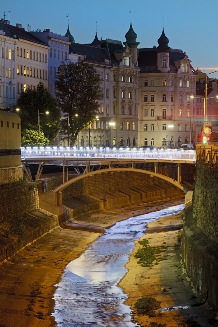
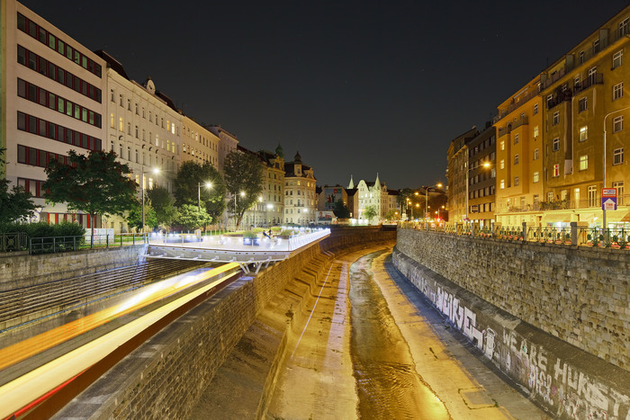
Wiental
Stadträumliche Studie
Das neue städtebauliche Leitbild für das Wiental soll Entwicklungspotenziale aufzeigen, Orte der Regenerierung identifizieren, die Gestaltungs- und Aufenthaltsqualität des öffentlichen Raumes sowie die Erlebbarkeit des Flussraumes erhöhen.
Das Wiental bietet auf fast 14 km Länge von der westlichen Stadtgrenze bis zum Donaukanal einen Querschnitt durch unterschiedliche Landschaftstypen Wiens. Verbindendes Element dieses heterogenen Stadtraumes ist dabei der Wienfluss, der von der wichtigsten radialen Verkehrsachse im Westen Wiens begleitet wird. Aufbauend auf einer stadträumlich-gestalterischen Analyse wurden Abschnittstypologien definiert und Maßnahmen für ausgewählte Bereiche erstellt. Aufbauend auf der bis heute den Stadtraum prägenden Gesamtkonzeption Otto Wagners sollen bestehende Freiraumqualitäten bewahrt werden.
Eine generelle ästhetische Aufwertung des Wientals soll einerseits die charakteristischen urbanen Qualitäten der einzelnen Flussabschnitte aufwerten und andererseits attraktive Erholungsräume für die Bürger und Bürgerinnen schaffen. Verkehrsflächen sollen aufgelassen und in nutzbare Freiräume für Fußgänger und Fußgängerinnen umgewandelt werden. Neue Verbindungen der Bezirke über den Fluss und Bezüge zum Flussufer sollen entstehen. Realisierbarkeit und phasenweise Umsetzung der Planungskonzepte wurden berücksichtigt.
- Adresse:
- Wien, Österreich
- Architektur:
- Architekten Tillner & Willinger, Wien
- Mitarbeit Architektur:
- M.Osterhage, G.Koch, S. Weber
- Landschaftsarchitektur:
- Auböck & Kárász, Wien
- Planungsbeginn:
- 2009
- Grundstücksfläche:
- 1.400.000 m²